FOREST AND GRASSLAND MONITORING
Forest and grassland are two of the most important biomes on the Earth. Forests cover about a third of the land and are refuge for nearly half of Earth’s known species, while grasslands, as mixture of different grass species, legumes and herbs, primarly exist where there is not enough regular rainfall to support the growth of a forest, but enough not to become desert. Beside their presence at global scale as biomes we find woods and grass areas close together outside and within cities.

The reasons of forests importance are multiple and well known: they are source of oxygen and carbon stocks, reduce temperatures providing shade, can influence regional weather pattern and even create their own microclimates through evapotranspiration, increase water drainage and protect soil from erosion, and are also source of income for global population. On the contrary, importance of grasslands is less recognized but, similarly to forests, they contribute to global balance and protection. Grasslands act as protection and conservation of soils and water sources, provide habitat for wildlife (flora and fauna) and are feed base for ruminants and herbivores, are carbon sinks and nitrogen fixation sources and contribute to the attractiveness of landscapes.
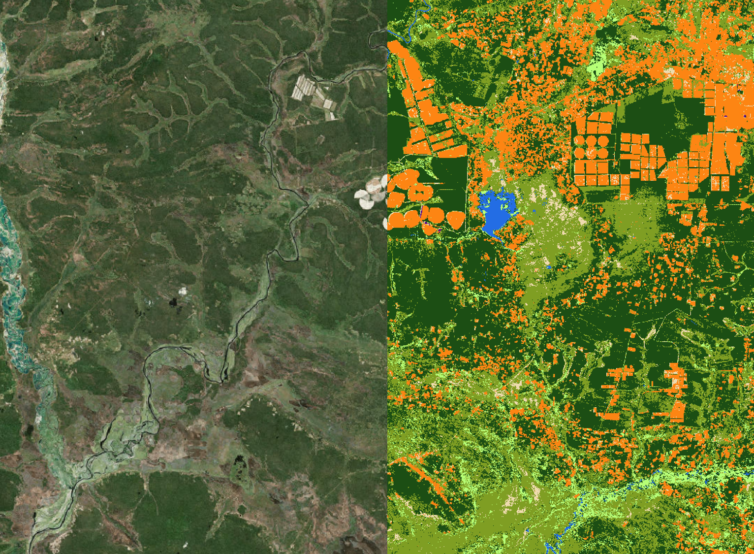
Satellite Earth Observation can provide data on vegetation structure and health at multiple scales and over very wide geographic areas, identifying wood and grass areas location, contributing to estimate vegetation extent and monitoring plant growth within the observation period.
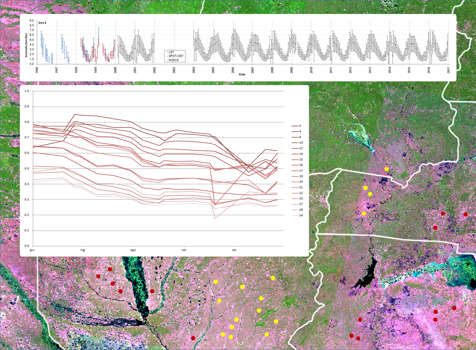
GEO-K studies the spectral and radar backscatter characteristics of vegetation to produce innovative algorithms based on Neural Networks for both trees/forests and grasslands.
Principal applications include:
- biomass estimation in forested areas
- feed resources estimation for livestock in grasslands
- classification and monitoring of urban green spaces
- control of mowings to reduce fire risk in hot season


