Mondometeo StormTrek

StormTrek is an algorithm, developed along with GEO-K, for the detection and the tracking of thunderstorms based on the Meteosat Second Generation images.
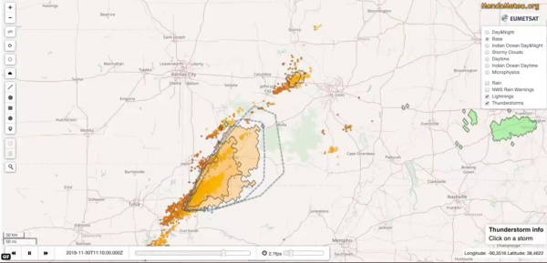
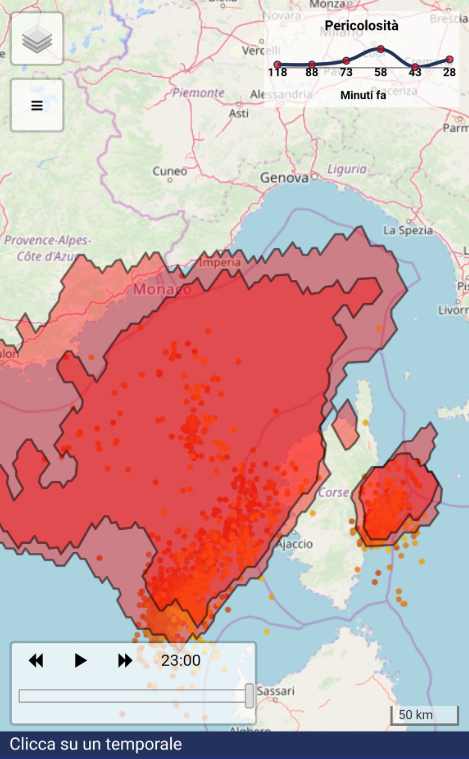
The APIs return shapes that represent the detected objects (the storms) in GeoJSON format which is very easy to integrate in several ways (see Leaflet or Mapbox).
– The color of each object is related to its phase: Triggering (first detection), Growing, Mature and Dissipating.
– The highlighted inner parts of the objects represent the most dangerous areas.
– The arrows represent the objects’ trajectories.
The algorithm works in near real-time since there is a short delay between the satellite observation and the data availability (about 15 minutes).
StormTrek was presented at the Eumetsat Conference 2014, while its validation was provided at the Eumetsat Conference in 2015.
For more information, please contact us.


