 https://www.geo-k.co/wp-content/uploads/2021/02/WhatsApp-Image-2021-02-10-at-17.08.31_1.jpeg
919
1242
admincl
https://www.geo-k.co/wp-content/uploads/2019/11/NEW_GEO-K_logo_trasp1.png
admincl2021-02-09 16:15:002021-02-11 15:20:41GEO-K supports ESA for Sentinel-2 data calibration using drones
https://www.geo-k.co/wp-content/uploads/2021/02/WhatsApp-Image-2021-02-10-at-17.08.31_1.jpeg
919
1242
admincl
https://www.geo-k.co/wp-content/uploads/2019/11/NEW_GEO-K_logo_trasp1.png
admincl2021-02-09 16:15:002021-02-11 15:20:41GEO-K supports ESA for Sentinel-2 data calibration using dronesDRONE-BRDF
DRONE – Bidirectional Reflectance Distribution Function

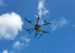
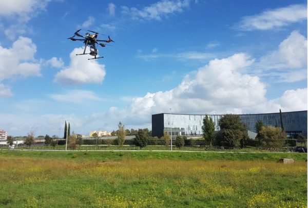
The validation of bidirectional reflectance distribution function (BRDF) by UAV platform is part of ESA Quality Assurance for Earth Observation (QA4EO) programme. In particular, the aim of Drone BRDF project is to tackle the challenges associated to surface reflectance and BRDF validation using advanced UAV-based techniques passing through:
- the development of a suitable calibration plan for the considered UAV-based camera;
- the planning and execution of UAV-based validation campaign in surrounding regions of Rome focusing on vegetated homogeneous sites suitable for validation at S2, Proba-V, and S3 product resolution scale. The campaign shall be repeated for different seasonal conditions to study spatio-temporal evolution of surface anisotropy;
- the analysis of the validation campaign data for deriving BRDF model parameters associated to various vegetation conditions and to use these results to validate BRDF-estimation from S2 Proba-V, and S3 data using prototype scientific algorithms.
The main instrument on board the UAV system is the MAIA S2 multispectral camera produced and distributed by SAL Engineering. MAIA permits the simultaneous acquisition of high-resolution images at various wavelength intervals in VIS/NIR (Visible/Near- Infrared) electromagnetic spectrum regions. More in particular, the multispectral camera is equipped with the same wavelength intervals of the multispctral instrument carried by the Copernicus S2 satellite. MAIA is able to produce image at 1.2MP resolution ensuring high sensitivity and the simultaneous acquisition of images free from motion artifacts thanks to global shutter technology.
The system is also equipped with an Incident Light Sensor (ILS) measuring the level of the downwelling light in each band and allowing the correction for light changes during the survey, such as those caused by clouds. ILS provides irradiance data at the exact time of shooting for each image and in each spectral band, substantially improving the accuracy of radiometric correction and allowing to conduct multi-temporal multispectral surveys.
related posts:
 https://www.geo-k.co/wp-content/uploads/2021/02/WhatsApp-Image-2021-02-10-at-17.08.31_1.jpeg
919
1242
admincl
https://www.geo-k.co/wp-content/uploads/2019/11/NEW_GEO-K_logo_trasp1.png
admincl2021-02-09 16:15:002021-02-11 15:20:41GEO-K supports ESA for Sentinel-2 data calibration using drones
