Articoli

GEO-K takes part to the study for super-classification of multispectral data

GEO-K participates to the study for the super-classification of Landsat Multispectral products. The study will be published on the IEEE Journal of Selected Topics in Applied Earth Observation and Remote Sensing in the next period.

What is super-classification?

With it, we consider the ability to discriminate the different “materials” that form a single pixel signal. Often these materials are different and composite on the Earth’s surface. With this approach, we can ultimately increase the capability of satellite instruments in terms of spatial resolution.

The methodology proposed by GEO-K and the Earth Observation Laboratory of the University of Rome Tor Vergata is based on advanced techniques exploiting Neural Networks.

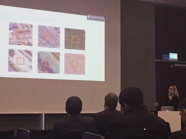
The first results obtained by the team were presented at the URBAN 2015 Remote Sensing Joint Event in Losanna, Switzerland.

URBANFLUXES at Rome 2015 Science Symposium on Climate

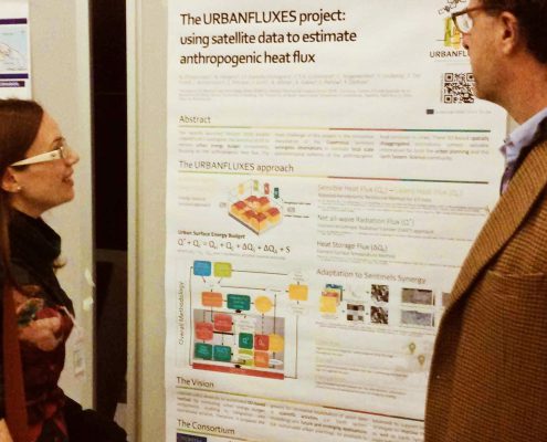
GEO-K took part at the Rome 2015 Science Symposium on Climate poster session, on November 19-20, with a contribution to URBANFLUXES project.

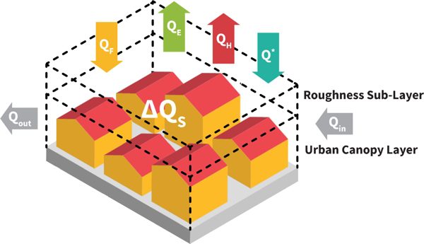
The recently launched Horizon 2020 project URBANFLUXES investigates the potential of EO to retrieve urban energy budget components, focusing on the anthropogenic heat flux. The main challenge of this project is the innovative exploitation of the Copernicus Sentinels synergistic observations to estimate local scale spatio-temporal patterns of the anthropogenic heat emission in cities. These EO-based spatially disaggregated estimations contain valuable information for both the urban planning and the Earth System Science community.


EO Lab in Tor Vergata and ESA Bic Lazio will create the Italian FabSpace

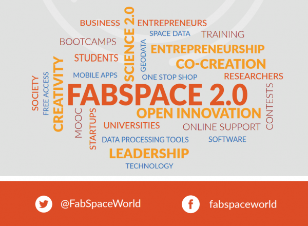
The Fab Space 2.0 project (led by the French university Toulouse III Paul Sabatier) was approved under the Horizon 2020 program: 3,5 million euros to create innovative and space-oriented fab labs in 6 European countries.

Universities are the protagonists and in particular those of France, Italy, Belgium, Germany, Poland, Greece. They will become (even more) centers for innovation. According to the project partners, Fab Space 2.0 will concentrate in a single territorial area of ​​research and innovation also the decisive contributions for a strong socio-economic and environmental effect: innovation guided by geo-information data, mainly derived from Earth observation space missions.

Universities must adopt the new role of innovation co-creators in the context of Science 2.0. They must realize the future scenario in which open data come into play in a creative environment: there, the developers who come from civil society, industry and academic research, public and territorial administrators can meet, work together and co-create new tools and new business applications.
So here is the new type of fab lab: the FabSpaces. They will be a key point in which to find large varieties of data (including ‘spatial’ data) and free tools for data processing and software, all for designing new applications. A real innovation realized thanks to the knowledge of data. The link between universities, industries, public administration and civil society will be reinforced by local and European initiatives for application development. Around 1,500 European students and researchers are expected to use FabSpaces.


In Italy, the protagonists are the ESA BIC Lazio incubator and the EO LAB – the Tor Vergata Earth Observation Laboratory.
The laboratory of the University of Rome Tor Vergata, with the coordination of Professor Fabio Del Frate of DICII – Department of Civil Engineering and Computer Engineering, will be responsible for the creation of real and virtual laboratories that will use the latest web technologies for both training and technology transfer in the fields of geoinformation and Earth Observation, all in close connection with the progress of scientific research.

The financing of the project (356 thousand € will go to Tor Vergata / EO Lab) – says Fabio Del Frate – is a source of great satisfaction because it enhances the activities of our University and our Department especially in the field of Earth Observation“. “At the same time – continues Del Frate – the utmost effort will be needed to achieve, in collaboration with the other organizations, the objectives presented in the proposal. In particular, as a university, the ability to significantly strengthen the role of meeting point between training, research and technology transfer in the aerospace and geo-information sectors, focusing on the new generations of students and the requests coming from society civil“.


Some useful links:

Fabspace 2.0 website
Tor Vergata Computer Science, Control and GeoInformation Doctorate


GEO-K StormTrek at 2015 EUMETSAT Meteorological Satellite Conference

The number of the extreme meteorological events has increased in the last few years and the trend should be the same for the next future”.

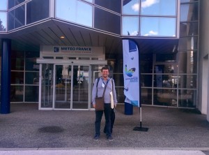
GEO-K participated in the 2015 EUMETSAT Meteorological Satellite Conference, held in Toulouse, France, 21-25 September, presenting StormTrek, the innovative algorithm for the nowcasting of extreme meteorological events.

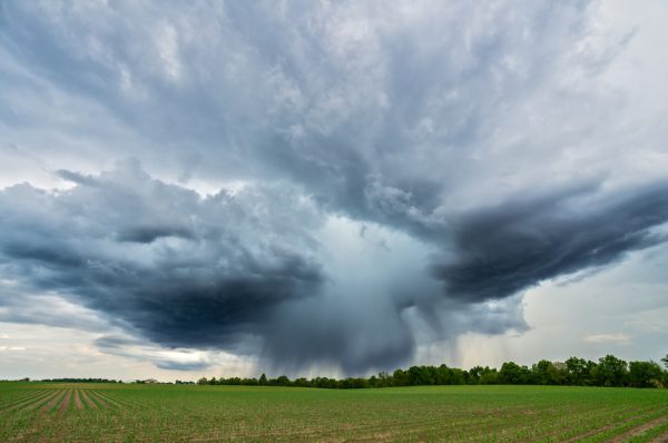
These events generally develop very quickly and on a small scale, nevertheless they may provoke several damages and affect also the human’s safety. For these reasons it is very important to monitor and prevent these natural hazards by means of advanced techniques which must be able to:
● detect the event as soon as possible
● track the behavior of the event
● predict the short term development of the event

StormTrek is a novel multispectral algorithm for the detection, the tracking and the short term forecast of convective objects developed by GEO-K.
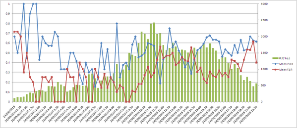
The model is already operational and some web services based on its output are already available. Our work is aimed to show the results of the validation activity developed in the last year. StormTrek validation involves the comparison with benchmarks like the Rapid Development Thunderstorms, developed by Meteo France, and the lightning activity over Europe and South Africa
”.

Here is the link to the presentation.

“Short-term weather forecast for precision farming” at the XVIII AIAM Convention 2015

Precision Farming will benefit from satellite weather forecasting.

GEO-K took part in the XVIII AIAM Convention 2015, the annual Convention of the Italian Association of Farm-Meteorology, hold at San Michele all’Adige (Trento), 9-11 June 2015.

At the meeting, the use of satellite data and short-term weather forecast (nowcasting) was proposed as an important tool to detect dramatic weather events, such as severe thunderstorms and hailstorms.

Take a look at the interview (in Italian only).


Urban Imagery for thermal behavior of cities at JURSE 2015

Earth Observation (EO) systems and the advances in remote sensing technology increase the opportunities for monitoring the thermal behavior of cities.
Several parameters related to the urban climate can be quantified from EO data products, providing valuable support for advanced urban studies and urban climate modeling.
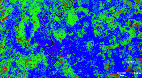
The study has been presented at the last JURSE congress in Lausanne. In this study, remote sensing techniques are applied to derive quantitative information necessary to identify possible zones with homogeneous thermal characteristics (Local Climate Zones LCZ).

Parameters like the pervious and impervious surface fraction, the surface albedo, the building density, the mean building/tree height, and the sky view factor are quantified for a study area in Crete, Greece. The EO products are then used under a methodological framework to map the LCZ.

Individual EO products, as well as the LCZ classification itself, is useful to urban climate modeling and studies to assist in planning and decision making.

Future research includes the investigation of more urban parameters extraction with EO data, with the ultimate goal of developing a methodology adaptable to the Sentinels.

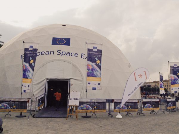
GEO-K invited at the European Space Expo

GEO-K has been invited to give a talk at the European Space Expo on 1st November 2014, the itinerant free exhibition that highlights the many ways in which the EU space programme helps EU citizens “on the Earth” every day.
The exhibition has already visited the following cities: Copenhagen, Toulouse, Helsinki, Brussels, Vienna, Larnaca (Cyprus), London, Madrid, Budapest, Hannover, Warsaw, Bratislava, Dublin, Rome, Vilnius, Tallinn, Munich, Lisbon, Craiova (Romania), Sofia, Prague and Genoa.

GEO-K is a partner of LearnEO! project

GEO-K is a partner of LearnEO!, a 2-year Earth Observation education project funded by the European Space Agency (ESA) and developed by different European Institutions. LearnEO! main aim is to increase the understanding and knowledge of satellite data obtained from ESA missions and demonstrate how these can be used in the real world when facing environmental problems. The project allowed to develop hands-on training resources for primarily (but not exclusively) use of teachers and students of high school to universities.

The project has now launched an open lesson-writing competition: everyone can submit their own proposal and take a chance to win up to Euro 5,000!

http://www.learn-eo.org


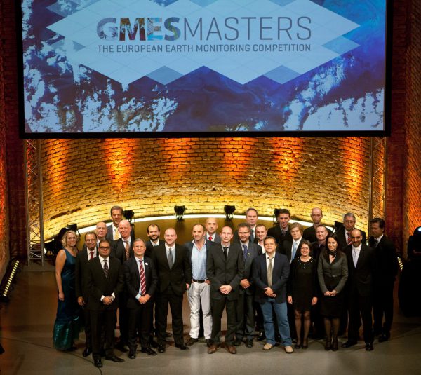
GEO-K won the Best Ideas challenge at the GMES Masters Competition 2012

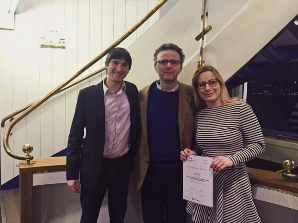
GEO-K and SERCO prized at the Global Monitoring for Environment and Security (GMES) Masters competition (GMES MASTERS 2012). GEO-K and SERCO won the “Ideas Challenge” competition proposing  “MOSP-RIOS – OFF-SHORE OIL SPILL & FLARING MONITORING”, a service for the monitoring of gas flaring and of oil spilling from off-shore platforms using GMES products.

The competition, in its second year, received more than 100 innovative business proposals from 20 European countries. The 2012 winners were announced at the event, in Munich, organized by Anwendungszentrum Oberpfaffenhofen (AZO) GmbH, on 25 October 2012.