Articoli

GEO-K supports ESA for Sentinel-2 data calibration using drones

Our UAV equipped with MAIA multispectral sensor and ILS (Incident Light Sensor) flew on 26-11-2020 at 10:03 UTC over selected test site, overlapping exactly the passage of Sentinel-2 satellite. The UAV altitude was of 90 m with a GSD of about 5 cm and a FOV of 60 m × 45 m.

The flight has been carried out in the contex of QA4EO ESA project which aims to tackle the challenges associated to surface reflectance and BRDF validation using advanced UAV-based techniques.

New flights and data elaboration are scheduled in the next months.
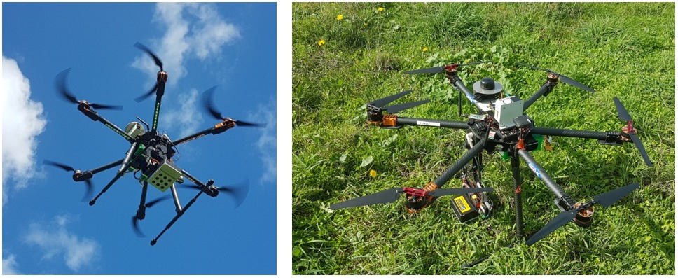
drone brdf sensors

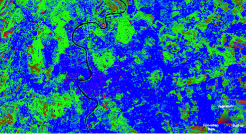
GEO-K takes part to the study for super-classification of multispectral data

GEO-K participates to the study for the super-classification of Landsat Multispectral products. The study will be published on the IEEE Journal of Selected Topics in Applied Earth Observation and Remote Sensing in the next period.

What is super-classification?

With it, we consider the ability to discriminate the different “materials” that form a single pixel signal. Often these materials are different and composite on the Earth’s surface. With this approach, we can ultimately increase the capability of satellite instruments in terms of spatial resolution.

The methodology proposed by GEO-K and the Earth Observation Laboratory of the University of Rome Tor Vergata is based on advanced techniques exploiting Neural Networks.

The first results obtained by the team were presented at the URBAN 2015 Remote Sensing Joint Event in Losanna, Switzerland.