RFIDrone: when a drone reads radiofrequency
The partnership between GEO-K and RADIO6ENSE aims to build up a system that exploits the paradigm of radiofrequency identification (RFID) and the potentialities of Unmanned Aerial Vehicles (UAV).
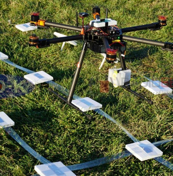
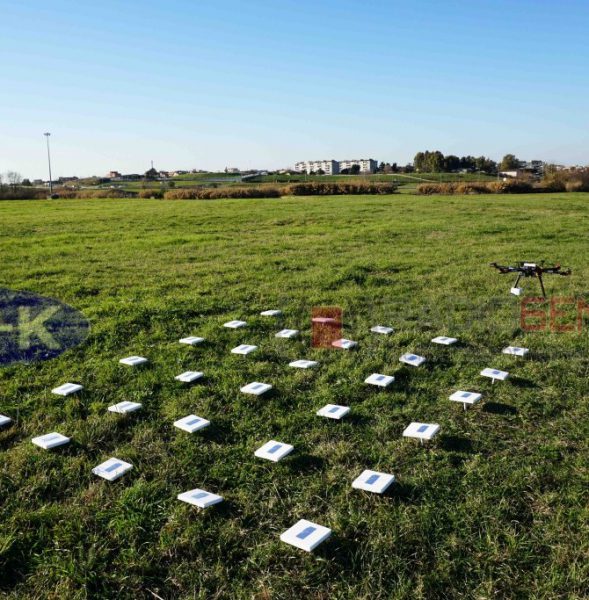
The RFIDrone project will be developed considering two main approaches: the first, named DroneReader, consists of a UAV hexacopter able to carry out autonomous missions in which the data transmitted by RFID are collected and used for creating thematic maps or for characterizing the object under analysis. The second, named DroneTAG, consists of a UAV acting as a RFID, becoming itself a TAG with autonomous re-locating capabilities. In both cases, the system offers revolutionary potentials in the monitoring of structures pre- or post-event (bridges, buildings, dams), precision farming applications, surveillance, and logistics.


