Articoli

DronEM (Drone for Electromagnetic fields Measurements)

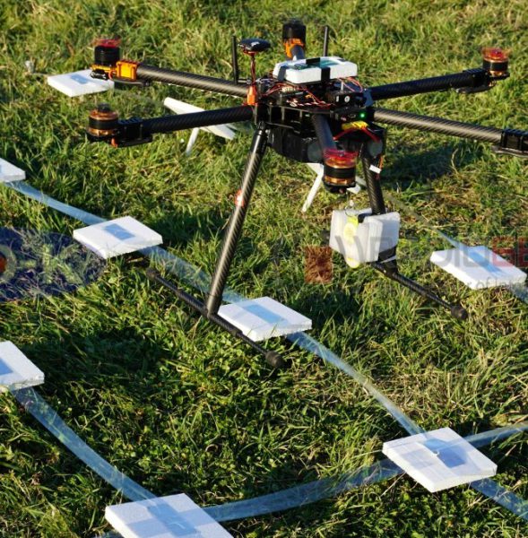
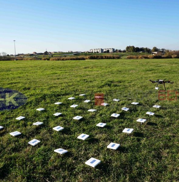
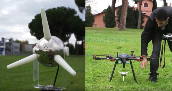
The collaboration between GEO-K and MPB Group allowed the design and implementation of a novel technique for 3D measurement and mapping of Electro-Magnetic field distribution.

DronEM permits the estimation of EM pollution and the creation of pollution maps, as well as the verification of signal quality and cover. The system consists of a Drone equipped with a Selective Electric Triaxial Probe (SEP) and is able to scan the electromagnetic spectrum between 10 MHz and 3 GHz, till 200 m altitudes.

This UAV+SEP technique allows a precise monitoring activity and the possibility to plan automatic missions at different flight heights with high accuracy.

Check the design activities here
Check the validation activities here
GEO-K meets the IEEE President, Barry L. Shoop

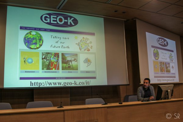
An interesting appointment together with other interesting enterprises: that’s what had occurred at GEO-K, September, 27th, participating in a workshop with Barry L. Shoop, IEEE president, at the Faculty of Engineer at the University of Rome Tor Vergata.

The IEEE vision: “To be essential to the global technical community and to technical professionals everywhere, and to be universally recognized for the contributions of technology and of technical professionals in improving global conditions”. For this, in addition to a good turnout of students and researchers, Shoop had accepted to meet the innovation groups and people of the Faculty: GEO-K, the first spin-off of Tor Vergata, is between them.

Speaker: Daniele Latini, Ph.D. and pilot of GEO-K’s drones.

(photo by Simona Ranieri)

RFIDrone: when a drone reads radiofrequency

The partnership between GEO-K and RADIO6ENSE aims to build up a system that exploits the paradigm of radiofrequency identification (RFID) and the potentialities of Unmanned Aerial Vehicles (UAV).

The RFIDrone project will be developed considering two main approaches: the first, named DroneReader, consists of a UAV hexacopter able to carry out autonomous missions in which the data transmitted by RFID are collected and used for creating thematic maps or for characterizing the object under analysis.  The second, named DroneTAG, consists of a UAV acting as a RFID, becoming itself a TAG with autonomous re-locating capabilities. In both cases, the system offers revolutionary potentials in the monitoring of structures pre- or post-event (bridges, buildings, dams), precision farming applications, surveillance, and logistics.


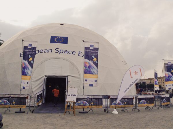
GEO-K invited at the European Space Expo

GEO-K has been invited to give a talk at the European Space Expo on 1st November 2014, the itinerant free exhibition that highlights the many ways in which the EU space programme helps EU citizens “on the Earth” every day.
The exhibition has already visited the following cities: Copenhagen, Toulouse, Helsinki, Brussels, Vienna, Larnaca (Cyprus), London, Madrid, Budapest, Hannover, Warsaw, Bratislava, Dublin, Rome, Vilnius, Tallinn, Munich, Lisbon, Craiova (Romania), Sofia, Prague and Genoa.